
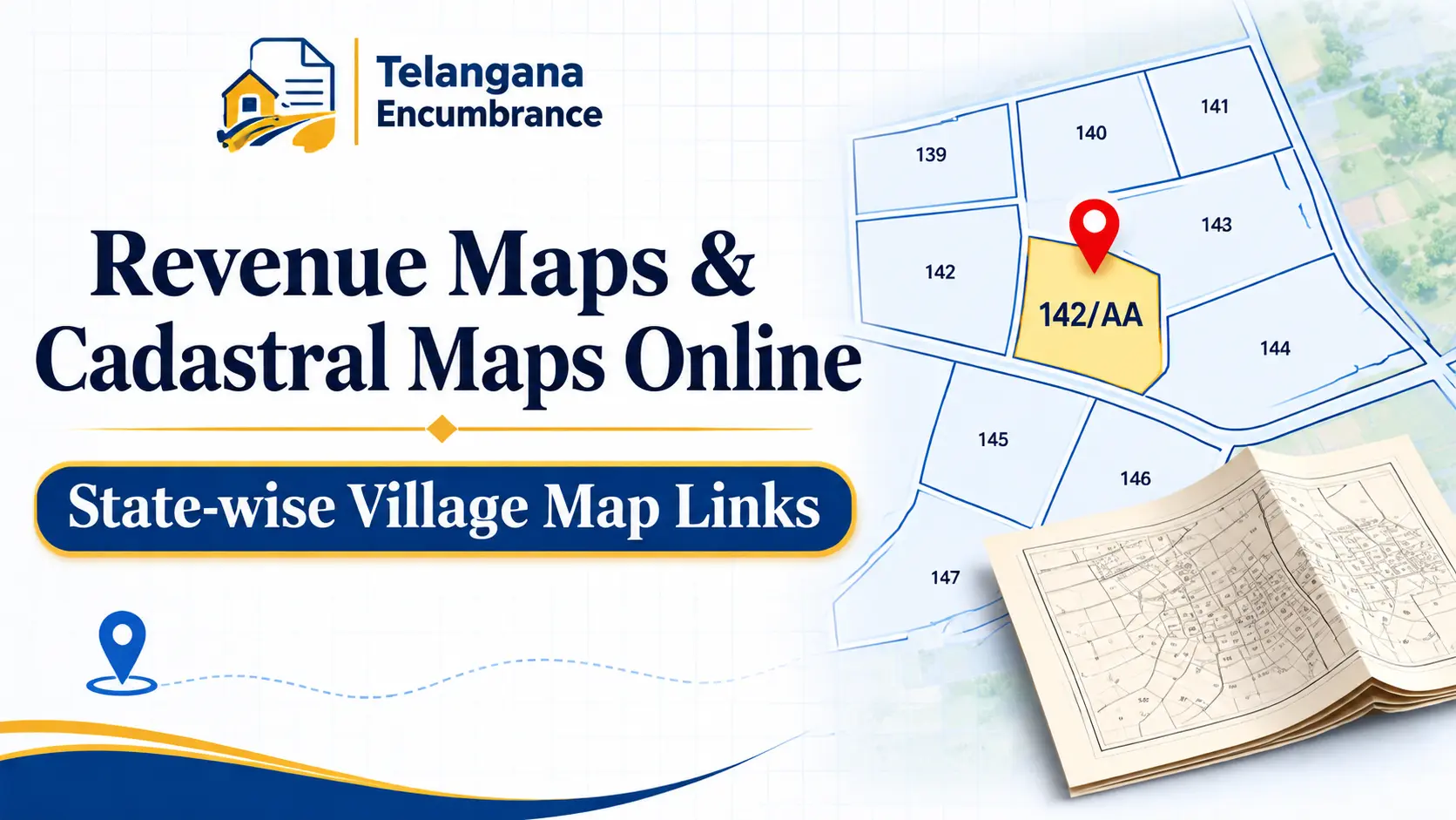
Your sale deed says survey number 142/AA. Your passbook says the same. But when you stand at the edge of the plot, the farmer next door insists the boundary runs twenty feet further in. This is the moment when revenue maps stop being a bureaucratic formality and become the document that decides who is right.
A revenue map also called a cadastral map shows how a village is divided into survey numbers, plots, and boundaries. Most states have now digitised these maps and put them online, but the coverage is patchy, the quality varies, and the portals are not always easy to navigate.
This guide walks you through what these maps contain, how to find them for your state, and where the online version falls short of the certified copy you may eventually need.
What Exactly Is a Cadastral Map?
A cadastral map is the revenue department’s record of every land parcel in a village, drawn to scale and labelled with survey numbers. The word comes from the Latin capitastrum, a register of land kept for taxation. That origin still explains the map’s purpose: it tells the government which plot belongs to whom, how large it is, and where its boundaries run.
The term property map is looser. Urban buyers often use it to mean an approved layout plan, a building plan, or a plot sketch. For agricultural land, the cadastral map is the base document. For a plot inside a municipality or a layout approved by an authority like HMDA or DTCP, the approved layout plan carries more legal weight but the underlying survey boundaries still matter when a dispute arises.
These maps are prepared and maintained by each state’s Survey, Settlement, and Land Records department. In Telangana, that work sits under the Chief Commissioner of Land Administration (CCLA), and the maps are now published on the Bhu Bharati portal, which replaced Dharani in 2025.
You may also like to read these posts :👇
Maa Bhoomi, Bhumata & Webland Telangana: What Happened & Where to Check
CCLA Telangana: Chief Commissioner of Land Administration – Services, Land Status & Contact
భూ భారతి పోర్టల్ తెలంగాణ: లాగిన్, భూమి రికార్డులు, సేవలు
How to Find Survey Number of Land in Telangana
Why the Map Matters Before You Sign Anything
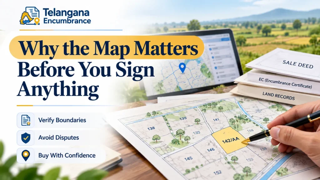
A sale deed describes property in words: survey number, boundaries, extent. Words can be read two ways. A map cannot. When a revenue inspector investigates an encroachment complaint, the cadastral map is the first thing he opens.
For a buyer, the map works alongside the Encumbrance Certificate (EC) and the title deed. The EC lists registered transactions sales, mortgages, gifts over the period you request. The map shows physical extent and location. If the EC is clean but the map shows the plot extending into a government channel or a neighbour’s field, you have a problem the EC alone would never reveal.
Telangana has begun requiring survey maps to be attached during registration in pilot mandals, a change aimed squarely at reducing boundary litigation. The direction is clear: the map is moving from a supporting document to a mandatory one.
State-wise Portals: Where to Look
Digitised cadastral maps are not uniformly available. Some states publish full village maps for download; others offer only a survey number search, or push you to the national Bhuvan platform. Here is how the major states stack up.
Telangana: Bhu Bharati
Telangana’s land records now live on Bhu Bharati (bhubharati.telangana.gov.in). The portal has a “Know Cadastral Maps” section where you pick your district, mandal, and village, then view or download the village map with survey numbers marked.
The portal is still being rebuilt after the shift from Dharani. Some features carried over cleanly; others are still being refined. If a map does not load or a survey number is missing, that is often a transitional gap rather than a problem with your record.
The Bhuvan Telangana layer on ISRO’s Bhuvan platform is a separate resource. Under an agreement between the state and ISRO, survey boundaries are viewable on Bhuvan with a stated accuracy of around 95% for certain areas. Useful for a quick visual check. Not a substitute for the official map.
Andhra Pradesh: MeeBhoomi and Webland
Andhra Pradesh runs MeeBhoomi (meebhoomi.ap.gov.in), which focuses on ownership details, passbook information, and survey number searches. The emphasis is textual, not visual you get records, not always maps. For cadastral maps, the Webland portal or the local revenue office is the usual route. Bhuvan also hosts georeferenced cadastral data for parts of the state.
Other States
Most states now run a “Bhulekh” or similarly named land records portal. The common pattern: search by district, taluk, and village, with a map view or download link where digitisation is complete. For states not covered above, start with the state Department of Revenue or Survey Settlement website.
The DILRMP (Digital India Land Records Modernisation Programme) portal lists survey and resettlement agencies and can point you to the right office for your district.
How to Pull Up Your Village Map: A Practical Walkthrough
The exact clicks differ by state, but the logic is the same everywhere. Here is the sequence, with the snags people actually hit.
Step 1: Nail Down Your Revenue Village
You need the district, mandal (or taluk), and village. These are often not the same as the postal address. Your sale deed or passbook will carry them. If you are unsure, the sub-registrar office that registered the property can confirm the correct revenue village.
Common pitfall: a village with the same name in a neighbouring mandal. Selecting the wrong one is the single most frequent reason people conclude “my survey number doesn’t exist.”
Step 2: Go to the Official State Portal
Telangana: Bhu Bharati. Andhra Pradesh: MeeBhoomi or Webland. Elsewhere: the state Bhulekh portal. Skip third-party sites that promise instant maps they scrape old data and are frequently out of date.
Step 3: Search by Village or Survey Number
On Bhu Bharati, head to “Know Cadastral Maps” or “Land Record Details.” Select district, mandal, village, then enter the survey number if the portal asks for one. Some portals render the full village map with every survey number marked; others make you select a single survey number to see its boundaries.
Step 4: Read the Map Carefully
Zoom in. Locate your survey number. Second common pitfall: assuming the label you see is your plot when it is actually the adjacent one survey numbers on scanned maps are often cramped and faint. Check the shape and extent against your deed. If the scan is too poor to read, stop relying on it and apply for a certified copy.
Step 5: Cross-Check Against Your Papers
Compare survey number, boundaries, and extent on the map with your sale deed, passbook, and EC. A mismatch is not proof of fraud. It is a signal to ask questions before money changes hands. The map verifies; it does not replace your other documents.
Mistakes That Cost Buyers Time and Money
Treating the online map as legally sufficient. Bhuvan’s own disclaimer states its cadastral data is for planning and development and “not valid for measurements and regulatory applications.”
For court, registration, or a formal dispute, you generally need a certified copy from the revenue department. The online map is a reference tool.
Mixing up the survey map and the layout plan. Inside a municipality or an approved layout, the development authority’s layout plan is a separate document.
The cadastral map shows revenue survey boundaries; the layout plan shows subdivided plots approved for construction. Different documents, different purposes.
Using a map that predates a subdivision. Survey numbers get subdivided 156/E/1, for instance, as seen in Telangana’s pilot registration reform.
A map older than the subdivision will not reflect current boundaries. Always match the subdivision number against the latest record.
Overlooking the Tippon (FMB). In Telangana, the Tippon, or Field Measurement Book, is a detailed measurement sketch for an individual survey number, showing precise dimensions and boundaries.
It is not always online. When boundaries are genuinely disputed, the Tippon is often the most authoritative document you can get apply at the Gram Panchayat or Mandal office.
You may also like to read these posts :👇
Bhu Bharathi / Dharani Application Status: Track Mutation & Passbook
ధరణి పోర్టల్ తెలంగాణ: భూ భారతిగా మార్పు – పూర్తి వివరాలు
Old Pahani, Sethwar & Khasra Pahani (1954-55) Telangana: How to Get a Copy
Dharani EC Search: How to Get an Encumbrance Certificate in Telangana
FAQs
Is a revenue map the same as a cadastral map?
Yes, in everyday Indian usage. “Revenue map” is the broader term for maps the revenue department uses; “cadastral map” specifically means the parcel-level map showing survey numbers and boundaries. The two are used interchangeably.
Can the online map prove I own the land?
No. It shows boundaries and survey numbers, not ownership. Title rests on the registered deed, the revenue record (ROR or Pahani), and the passbook. The map supports those documents; it does not stand in for them.
Why can’t I find my survey number online?
Three usual reasons: digitisation for your village is incomplete; the number was subdivided and the old one retired; or the layer was not updated after a resurvey. The revenue office or survey department can clarify which applies.
Is the Bhuvan Telangana layer officially valid?
Bhuvan is ISRO’s national geospatial platform. Its georeferenced cadastral data is useful for visual reference and planning, but it carries a disclaimer that it is not valid for measurements or regulatory use. For anything official, rely on the state revenue department’s certified maps.
How often are these maps updated?
There is no fixed schedule. Updates typically follow a survey or resettlement operation, or the formal recording of a subdivision. Many village maps are decades old, with changes reflected only in textual records. This is exactly why a current passbook or ROR matters as much as the map.
Do I need a lawyer to obtain a revenue map?
No. You can view the map yourself on the state portal, and apply for a certified copy at the revenue office or a MeeSeva centre in Telangana. A lawyer is not needed for the map itself though legal advice is worth considering if the map is central to a purchase or a dispute.
One Last Thing
If you are buying land, pull the map before you negotiate, not after. A boundary mismatch is far easier to walk away from than to litigate. And if the online map is illegible or missing, treat that as your cue to visit the revenue office early certified copies can take time, and registration timelines rarely wait.

4 Comments
Pingback: ధరణి పోర్టల్ తెలంగాణ: భూ భారతి | పూర్తి గైడ్
Pingback: Land Owner Details Telangana | Quick Online Guide
Pingback: Land Record Search by Name Online | State-Wise Guide
Pingback: తెలంగాణ భూమి రికార్డులు | Survey Number Guide