
You have the sale deed in hand, the survey number written clearly on page two, and a registration appointment next week. Then the buyer’s bank asks for a map showing the plot boundaries, and you realise you have never actually seen your land on paper. Or worse you open the old Dharani link you saved two years ago, and it no longer works.
That is where most people in Telangana land up today: holding valid documents for land they cannot visually locate on any official map. This guide walks through the Bhu Bharathi survey number map how to access it, what it actually proves, and where it falls short.
What the Bhu Bharathi Survey Number Map Actually Shows
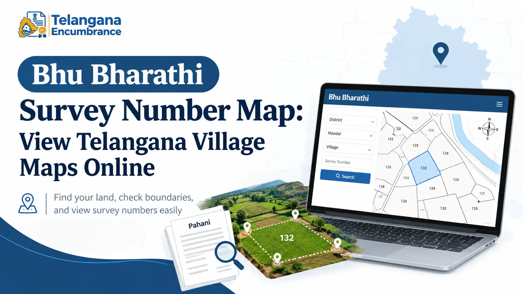
A cadastral map the technical name for what Bhu Bharathi hosts is a village-level drawing of every land parcel within that village’s boundary. Each plot carries its survey number.You can see where one piece of land ends and the next begins, which side faces a road, and which plots sit adjacent to yours.
This is different from what a Pahani or Record of Rights (ROR) gives you. The Pahani is a text record: owner name, land extent, classification, source of irrigation.It will not tell you whether your plot is the rectangular one near the tank or the odd-shaped strip behind it.
The map does that. For any transaction, you need both the text record establishes ownership, the map establishes location.
The older physical system worked through Field Measurement Books, called Tippons locally. A Tippon holds the internal measurements of a single plot boundary lengths, angles, sub-division lines. The village map is essentially all the Tippons in a village assembled into one sheet.
Why the Dharani Map No Longer Works
Anyone who bookmarked the Dharani land map viewer needs to update their habits. Dharani was launched to digitise Telangana’s land records, and for several years it was the only online gateway.
It also drew sustained criticism data entry errors, mismatched survey numbers, and complaints that corrections took months.
In 2025, the state replaced it with Bhu Bharathi, which pulls the Revenue, Registration, and Survey departments onto one platform.
For map users, the change is blunt: old Dharani URLs may not resolve, and the cadastral map function now sits inside Bhu Bharathi. The underlying village data is broadly the same.
The bigger change is Bhudhaar. Every land parcel is being assigned a unique identifier, on the same principle as Aadhaar for individuals. The map is being linked to this number.
In pilot mandals, attaching the survey map during registration is already a requirement the intent being that boundary disputes get caught before a sale is registered, not after.
You may also like to read these posts :👇
Bhu Bharathi Portal Telangana 2026:
Dharani Portal Telangana – Complete Guide
Pahani Telangana Online: How to Download Pahani via Bhu Bharathi
Maa Bhoomi, Bhumata & Webland Telangana: What Happened & Where to Check
How to Check a Survey Number on the Telangana Land Survey Map
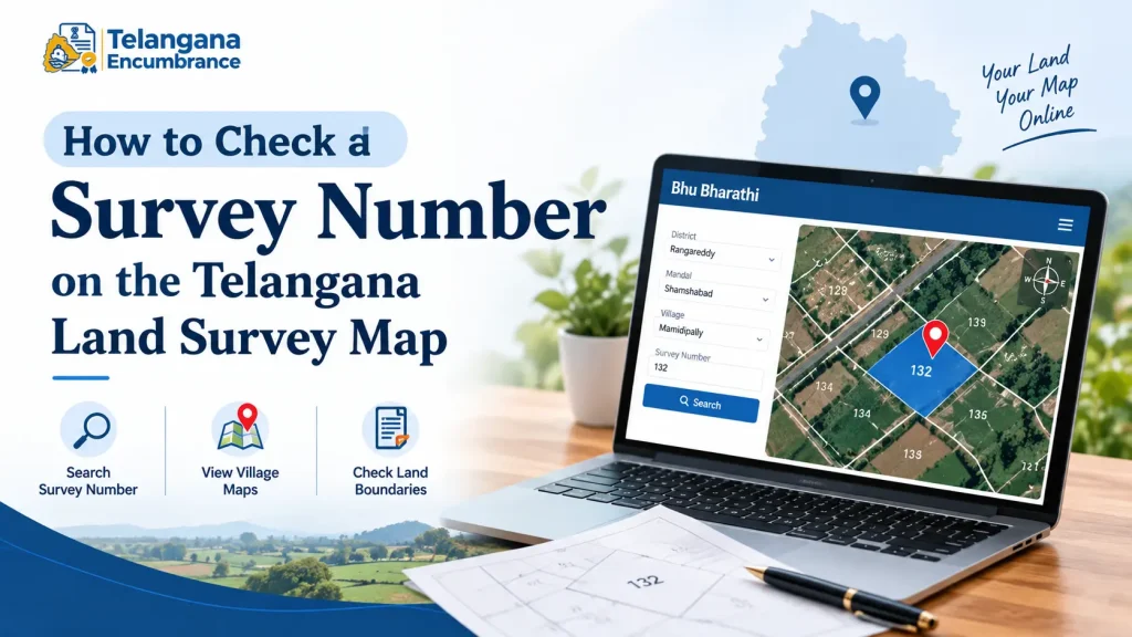
The interface will keep changing as the portal matures, but the sequence below reflects how the process generally runs. Budget twenty minutes for a first attempt.
Step 1 Open the official Bhu Bharathi portal. Type the address directly rather than clicking through search ads. Several private sites mimic the government layout, charge for extracts that are free officially, and run on stale data.
Step 2 Find the cadastral or village map section. Look under labels such as “Cadastral Maps,” “Land Parcel Map,” or “Village Map.” Its position in the menu has shifted between portal versions, so scan the citizen services area rather than assuming a fixed location.
Step 3 Select district, mandal, and village. Do not skip the mandal. Telangana has 33 districts and a large number of repeated village names. Picking the wrong mandal loads a map that looks plausible — same layout style, similar survey numbers and people have walked into sub-registrar offices with printouts of the wrong village.
Step 4 Search by survey number, or pan the map. Enter the survey or sub-division number and the parcel should highlight. If you do not know the number, you can view the full village map and navigate manually. Keep the Pahani open alongside it gives you the extent in acres and guntas, which helps confirm you have found the right plot.
Step 5 Verify against the ground reality you know. Check the shape, the neighbouring survey numbers, and the extent shown. If the highlighted parcel is 2 acres when your deed says 1.5, stop and investigate before going further.
Step 6 Download or print. A plain PDF works for reference. For a bank, court, or registration, you will typically need a certified copy with the departmental seal a separate application, usually through MeeSeva or the Tahsildar office, with its own fee and waiting period. Confirm current rates on the portal; they are revised from time to time.
Two pitfalls worth knowing. First, the map often shows only the parent survey number even after a plot has been divided among heirs or sold in parts. If your deed references a sub-division that does not appear, the bank will likely reject the map. Second, if the parcel is under a civil court stay, the revenue department may have flagged it the map may load, but registration and updates will not proceed until the injunction is vacated.
What the Map Proves and What It Does Not
A Telangana village map with survey numbers answers one question: where is the land, and what shape is it? It shows boundaries, orientation, adjacent plots, and nearby roads or water bodies.
It says nothing about ownership. A clean, clearly drawn parcel can still be encumbered, disputed, or registered to someone else entirely. Ownership sits in the Pahani; encumbrances sit in the Encumbrance Certificate. Treat the map as one leg of a three-legged verification, never as a substitute for the other two.
Documents Commonly Required for Map Applications
For a certified map copy, a boundary survey request, or a sub-division correction, offices generally ask for:
- Pattadar Passbook, or its digital equivalent
- Aadhaar card for identity verification
- Survey number and Khata number of the land
- A recent Pahani or Adangal extract
- The registered sale deed, where the application involves sub-division or correction of an existing entry
Requirements vary by district, and MeeSeva centres sometimes ask for additional proof. Confirm the checklist with your local Tahsildar office before submitting, rather than making a second trip.
You may also like to read these posts :👇
How to Find Survey Number of Land in Telangana
Bhu Bharathi / Dharani Application Status: Track Mutation & Passbook
ధరణి పోర్టల్ తెలంగాణ: భూ భారతిగా మార్పు – పూర్తి వివరాలు
Gujarat Village Map & 7/12 Utara Online: Survey Number & TP Records
Frequently Asked Questions
What is the difference between a village map and a Tippon?
The village map covers the whole village and shows how all survey numbers sit relative to each other. A Tippon, or Field Measurement Book sketch, zooms into one plot with its internal measurements and boundary lengths. The village map tells you where your land is; the Tippon tells you exactly how big each side is.
Can I use a downloaded map for a bank loan or court case?
A plain PDF is reference material. Banks, sub-registrars, and courts typically want a certified copy bearing the departmental seal. That comes through a separate application with a fee and processing time, so build the wait into your timeline rather than discovering it the week of registration.
Why is my survey number missing from the Bhu Bharathi map?
Three common reasons: the parcel has not been digitised, a sub-division has not been recorded in the system, or the land is under a court stay or pending correction. The Mandal Revenue Office or Tahsildar can tell you which applies.
Is the Bhu Bharathi map the same as the Dharani map?
Bhu Bharathi has replaced Dharani as the state’s land records platform. Old Dharani map links may no longer open. The cadastral data behind both is largely the same; only the access point has moved.
What is a Bhudhaar number, and how does it connect to the map?
Bhudhaar is a unique identifier assigned to each land parcel under Bhu Bharathi, designed to tie the text record, the spatial map, and the registration database into one thread. In pilot mandals, transactions already require it to be attached to the map, and the linkage is expected to extend statewide.
Can I get a physical survey done to fix boundary stones?
Yes. An F-Line survey sends a government surveyor to the site to place physical markers based on the official map. It is a paid service with a prescribed fee check the current rate at your MeeSeva centre or revenue office, as it is revised periodically.
A Final Point on Timing
If a registration or loan is anywhere on your horizon, pull the map now rather than the week before. Corrections to a missing sub-division or a mismatched extent run through the revenue office and can take weeks sometimes longer if the file needs a surveyor’s visit. The map itself takes minutes to view. Fixing what it gets wrong does not.

5 Comments
Pingback: Bhu Bharathi Portal Telangana 2026 | Login & Land Records
Pingback: Pattadar Passbook Telangana | Download & Status
Pingback: Maa Bhoomi Telangana | What Happened & Where to Check
Pingback: CCLA Telangana | Land Status, Services & Contact
Pingback: Dharani EC Search | Get Encumbrance Certificate Online